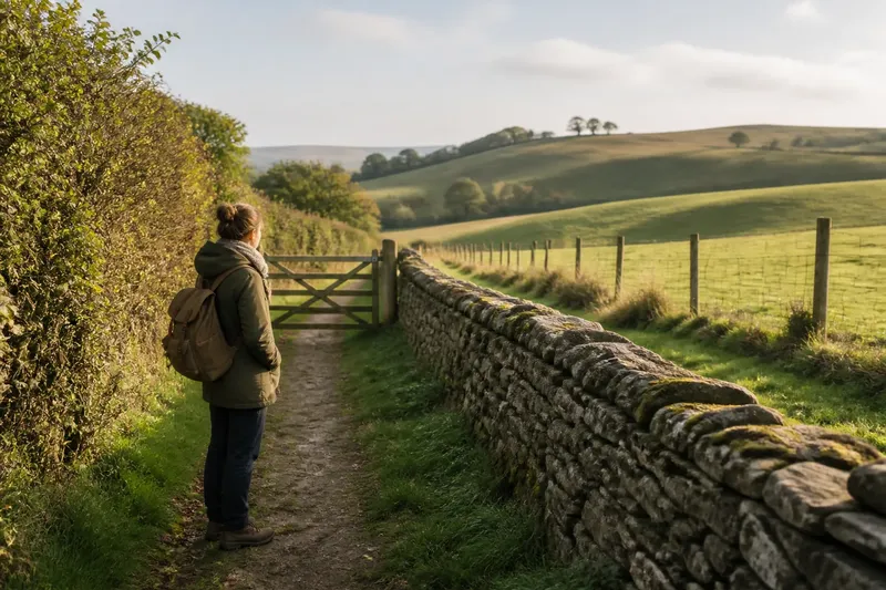
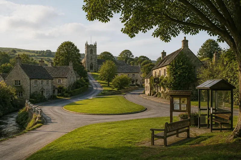
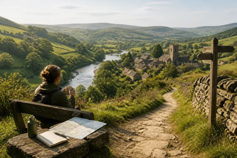
The Shape of a Loop: Why Circular Routes Feel Different
Circular walking routes make route planning easier by linking clear landmarks, varied terrain, and a practical way back to your starting point.
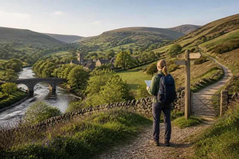
A circular walking route is easiest to enjoy when its shape makes sense on the ground, not just on a map. Link recognizable paths and landmarks, and a loop through the British countryside can feel like a clear, manageable journey rather than a puzzle that happens to end where it began.
Circular walking routes work best when their shape has a purpose
Think of a loop as a chain of useful connections. A village path might lead to a river crossing, a bridleway might climb toward open ground, and a signed lane might return to the village from the other side.
This way of planning puts route legibility ahead of perfect symmetry. A circuit can be lopsided and still work well if each junction is understandable and the final approach does not depend on guessing which field edge to follow.
Start by asking what each section does: does it connect two clear places, avoid an awkward road, or give you a sensible way to return? If a stretch has no clear purpose and is difficult to follow, choose a simpler connection.
Choose landmarks that help you make decisions
A useful landmark does more than decorate the map. A stone bridge, a church tower, a signed path junction, or the edge of a named wood can confirm that you are on the intended route.
Mark decision points before leaving: places where paths split, a lane meets a track, or a public right of way crosses a field. A paper Ordnance Survey map can show the broader layout; an offline map on your phone can help you check your position. Keep signs and local access guidance in view, since mapped paths and conditions on the ground may differ.
Use this planning list to decide whether the circuit is clear enough to follow:
- Check the starting point: if it is a signed trail access or clear village landmark, use it; if not, choose a start you can identify without relying on a precise map pin.
- Check each path junction: if the connecting route is marked and the direction is clear, keep it; if the turn is ambiguous, choose a circuit with a more legible connection.
- Check bridges and stream crossings: if the route has a usable crossing, retain that section; if a crossing is uncertain or shown as unavailable, plan another lawful route.
- Check road crossings: if you can see a safe, straightforward crossing point on the map and on site, use it; if not, reroute to a clearer crossing.
- Check changes in terrain: if climbs and surfaces suit your party, keep the route; if steep or rough ground is a concern, select gentler paths.
- Check the return connection: if a signed lane or path leads clearly back to the start, use it; if it requires an unclear shortcut, replace it with a better-marked approach.
Build a circuit from clear connections
Trace the route section by section rather than drawing a line that closes neatly. Confirm that public rights of way connect as expected, and note gates, bridges, road crossings, and changes from footpath to lane.
Say you are planning from a village beside a river. Your map shows a signed footpath to a stone bridge, a bridleway climbing to a ridge, and a public lane returning to the village; you check the junctions and access notes, then keep the circuit because every transition has a visible cue. The resulting plan has a clear route through each section and a straightforward way back to the starting point.
If one link is uncertain, replace that link rather than trying to rescue the whole design with an improvised shortcut. A shorter, clearer circuit is usually easier to follow than a more elaborate one with a doubtful connection.
Compare a loop with an out-and-back
A loop is useful when the available paths form a clear circuit and you want to connect several places. An out-and-back makes more sense when a particular destination matters, when the return route is clear, or when you want the option of turning around early.
Consider how easy it would be to change plans. Some loops have few convenient exits once you leave a village or valley; an out-and-back can let you retrace your steps if the weather worsens or the ground proves unsuitable.
Choose the route form that gives you the clearest decisions, not the one that looks most elegant on a screen.
How do you choose and follow a circular walking route?
Are circular walks harder than out-and-back walks?
Route shape alone does not determine difficulty; climbs, surfaces, conditions, and route-finding all matter. Check whether the circuit has a demanding section or few opportunities to change direction.
How long should a circular walk be?
Choose a route that fits your pace, the ground, and the time you have, leaving room for pauses and navigation. If the paths are unfamiliar, favor a plan with clear junctions and a straightforward way to shorten or leave it.
Can you walk a loop in either direction?
Often, but compare the climbs, crossings, and signs in both directions before setting out. Choose the direction that makes the important junctions easier to recognize and the harder ground more manageable for your group.
What if a path on the loop is closed?
Follow closure signs and use a lawful diversion if one is clearly provided. If no safe, clear alternative is available, retrace your steps or choose another route rather than crossing a barrier.
Keep the route flexible on the ground
Check your position at planned decision points instead of waiting until you feel lost. Carry a map you can reach easily, and keep your phone charged enough to consult an offline map if needed.
A closed gate, damaged bridge, or poor visibility can change what is sensible. Follow local signs, avoid blocked paths, and be ready to retrace a section or take a clear alternative.
When selecting circular walking routes, treat a well-marked connection as more valuable than a perfectly round line. That small planning choice can make the circuit easier to follow from the first junction to the return path.